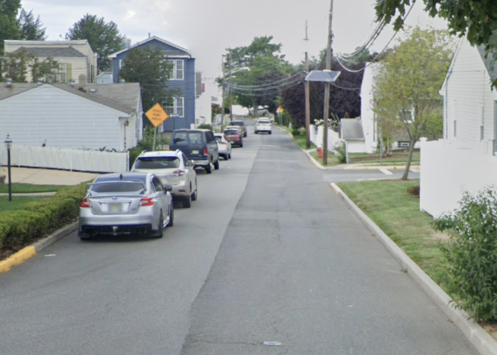
Secaucus has amended where parking is prohibited on Hops Lane.
Mayor Michael Gonnelli and the Town Council adopted an ordinance at its Tuesday, December 13 meeting after it was introduced in November.
The council previously enacted measures to alleviate dangerous situations on the town’s streets, promote safe passage for motorists and vehicles, to address traffic flow, and specify penalties for violations.
Upon review and recommendation of the Police Department, the mayor and council have determined that changes to the ordinance are warranted on Hops Lane to accommodate the parking and traffic needs of the area.
On the south side of Hops Lane, parking is currently prohibited along the entire length. Now, it is only prohibited from Schmidt’s Place to Paterson Plank Road.
On the north side of Hops Lane, parking is currently not prohibited. Under the ordinance, it would be prohibited on that side of the road from Stonewall Lane to Schmidt’s Place.
After the meeting, Town Administrator Gary Jeffas explained the gist of the changes to the parking rules for Hops Lane to the Hudson Reporter. He said that not only were there problems on the street with buses getting through when cars are parked on both sides of the street, but there was also a fence on one side of Hops Lane that made parking there difficult.
“When the police analyzed it, there’s a fence on one side. When you park by the curb, you really couldn’t open the car door to get out. It was difficult, so they just looked at it because there were a couple of residents asking for it. So they just varied the parking to the other side of the street so that it’s more passable and more usable for the public.”
Recommended after police traffic study
Prior to the ordinance being introduced and adopted, the Police Department Traffic Bureau conducted a traffic study to evaluate the parking in the area of Hops Lane. The one-way road begins at Stonewall Lane and heads west to Paterson Plank Road.
While the current ordinance prohibits parking on the south side of the entire length of Hops Lane, the study found that vehicles regularly park there anyway, specifically between Stonewall Lane and Schmidt’s Place. The study was largely in response to an incident caused when a large pickup with an attached trailer was parked on the south side of Hops Lane, directly in front of a home, and another vehicle was parked on the north side of Hops Lane, between Floral Terrace and Poplar Street.
The vehicles being parked on both sides of the street restricted the travel lane rendering it impassable for large vehicles. Specifically impacted were school buses which were forced to re-route during school transit hours.
The investigation by the Police Department found there were no signs delineating that there was no parking on either side of the street, which is why residents likely parked there in violation.
There are five houses on Hops Lane, with three located between Stonewall Lane and Schmidt’s Place. All three of those houses are on the south side of Hops Lane, and the remaining two homes are on the north side of Hops Lane between Schmidt’s Place and Paterson Plank Road, which the study identified as the likely reason that parking shifts to the north side of the street in that area.
The study ultimately found that the violation of the town’s ordinance has gone unenforced for too longer and beginning to enforce it now would create safety concerns and too great of an impact on the public.
According to the study, changing the ordinance to prohibit parking on the north side of the street instead of the south, except for the portion on Hops Lane between Schmidt’s Place and Paterson Plank Road, would be the best solution. In the wake of that conclusion in the study, the council embraced that exact recommendation from the Police Department.
Following the change, signs will be placed between Stonewall Lane and Schmidt’s Place on the north side of the street, and between Schmidt’s Place and Paterson Plank Road on the south side of the street. Once the parking signs are in place, regular enforcement of the area will be conducted.
Two streets added to residential parking Zone II
Also at its December 13 meeting, the Town Council adopted an ordinance after it was introduced in November adding two streets to its residential parking program, which divides the town into four zones. Farm Road, the entire length and the public lot, and the entire length of Riedel Court were added into Zone II.
“That ordinance added them into the residential parking program because there were some issues with parking in those areas,” Jeffas said. “So that just made sure that it’s noted for residential parking.”
The moves come amid a number of other parking-related changes in town, such as the recent adjustment of certain streets from one zone to another.
For updates on this and other stories, check www.hudsonreporter.com and follow us on Twitter @hudson_reporter. Daniel Israel can be reached at [email protected].


